
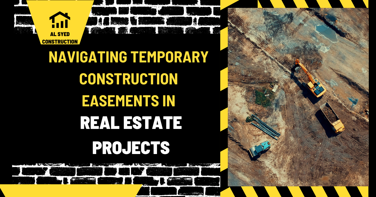
Temporary Construction Easements Explained
Temporary Construction Easements Explained: what to check
This guide explains temporary construction easement for owners, buyers, developers, tenants, and construction teams who need a practical starting point. The answer depends on property facts, project documents, and local requirements, so the discussion separates general planning from decisions that require parcel-specific or contract-specific review.
The useful question is not only what temporary construction easement means, but how it affects the next decision. Identify the property, intended use, measurement or contract involved, decision date, and person responsible for approval. Then verify the inputs before committing money, scheduling work, or relying on a legal or financial outcome.
A temporary construction easement grants defined, limited use of land for a construction period. It may allow access, staging, grading, or installation work, with conditions for notice, duration, compensation, safety, and restoration. The recorded agreement or authorization controls; the term itself does not describe the complete rights or obligations.
Key project considerations
Start with the recorded description
A deed description, recorded plat, survey, easement instrument, and title commitment each answer a different question. Compare the legal description and parcel identifiers before interpreting paint, stakes, fences, or old plans. A map drawn for general reference may not establish a boundary. When records disagree or a line affects construction, ask a licensed land surveyor or qualified title professional to identify the controlling evidence and explain its limits.
Understand what a field marker can show
A flag, stake, pin, or monument is a clue tied to a particular field activity. Its color may identify a utility locate, survey point, environmental limit, proposed alignment, or contractor's temporary reference. Color conventions vary by project and location, so a marker alone cannot establish ownership, permission, or the legal boundary. Photograph its location, note the date, and obtain the project legend or field notes before relying on it.
Distinguish an easement from ownership
An easement grants a defined use or access interest over land without necessarily transferring ownership of the underlying parcel. Its scope, beneficiary, location, duration, maintenance duties, and rights to relocate or terminate depend on the recorded instrument and applicable law. A route used informally for years may not have the same status as a recorded easement. Review the document and mapped exhibit instead of inferring rights from a visible path.
Map construction limits before work begins
Temporary work areas, permanent utility corridors, access routes, staging zones, and setback lines should appear on coordinated plans. Confirm which party may enter, what work is authorized, where equipment may operate, and when the area must be restored. A contractor's convenience does not enlarge a property right. If the site plan and written permission describe different footprints, resolve the discrepancy before mobilization.
Protect monuments and utility marks
Survey monuments can be difficult to replace and may be protected by local requirements. Utility marks are normally temporary locates with a defined validity period; they should be refreshed before excavation if the timing or ground conditions require it. Do not move, cover, or treat a mark as permanent without confirmation. Make the responsible surveyor or utility-locate service part of the work plan when grading, demolition, or excavation could disturb the reference.
Document the condition and the decision
Keep dated photographs, survey sheets, easement documents, locate tickets, plan revisions, emails, and written approvals together. Record who placed a marker, what it represented, and whether it was checked against the current drawing. These records help the owner, designer, contractor, and neighbor discuss the same location. They also make it easier to identify when a later field condition differs from the approved plan.
Escalate boundary uncertainty early
A disputed line can affect building clearance, access, drainage, insurance, and the ability to sell or refinance a property. Avoid resolving a legal-boundary question through informal measurement or a verbal assurance from a crew. Pause affected work, identify the exact disputed area, and obtain professional review. Early clarification is usually easier than redesigning completed work or negotiating after a structure has crossed a line.
The specific issue to resolve
A temporary easement is different from a permanent utility or access easement. It normally has a stated purpose and end point, but the exact period and permitted activities must be read from the instrument. The landowner may retain ownership while agreeing to limited project use subject to specific conditions.
Inputs and documents that change the answer
Before signing or granting one, map the proposed area, identify work methods and access, consider how the temporary use affects trees, parking, privacy, drainage, business operations, and restoration, and clarify who pays for damage. A survey exhibit is often essential to defining the footprint.
Practical steps
- Write down the decision involving temporary construction easement, the property address or parcel, the intended use, the responsible parties, and the date by which an answer is needed. A clear question keeps the review focused and makes missing information easier to spot.
- Gather the current documents that control temporary construction easement: the survey, title materials, zoning information, contract or lease, plans, estimates, permits, lender instructions, or records that apply to this case. Mark the version and date so the team does not work from a superseded document.
- Separate verified facts from estimates and assumptions. For every measurement, price, deadline, or permission, record its source and who confirmed it. If a value is not known, show it as an open item instead of filling the gap with a convenient guess.
- Ask the relevant professional or public authority a narrow, written question. Include the address, drawing or clause reference, proposed action, and alternative interpretation. Request the rule, approval, scope, or next step that applies to the specific project.
- Compare feasible options using the same cost, schedule, area, and responsibility basis. Include foreseeable site work, coordination, approvals, carrying costs, and contingency rather than comparing one headline figure with another.
- Save the final response, approval, calculation, and revised plan with the project file. Update the schedule and budget when the confirmed answer changes scope, access, funding, or timing.
Example decision
A contractor requests a strip of land for equipment access and temporary material storage. The owner should ask whether both uses are included, how long the area is needed, where trucks may travel, what insurance applies, how damage will be documented, and how the property will be restored before release.
Costs, risks, and trade-offs
Cost and schedule effects should be assessed against the actual scope, not an isolated label. Include professional review, permits, site preparation, access, utility work, insurance, inspection, documentation, and close-out when they apply. A lower initial estimate can shift cost into later changes, delay, or restoration if assumptions are incomplete. Record contingencies and exclusions explicitly so decision-makers can see what remains uncertain.
Risk is easier to manage when the person responsible for each approval, payment, inspection, and maintenance task is named. Confirm who can authorize a change and how that decision is recorded. If the project involves property rights, a signed contract, tax treatment, or a potential legal remedy, ask a qualified local professional to review the actual documents before acting.
Use the findings in a project decision
Compare the physical evidence with the legal and survey record rather than choosing whichever line looks most convenient. A fence, curb, flag, stake, or utility mark can help locate an issue but may have been installed for another purpose. Ask the surveyor to identify the point, explain the measurement, and show how it relates to the recorded description.
If a planned activity approaches the affected area, mark the limit on the current construction plan and brief the crew before mobilization. Clarify whether access, storage, excavation, restoration, or maintenance is permitted and who will inspect the work. A written field direction can prevent an informal assumption from expanding the scope of a recorded or temporary right.
Close the review by preserving the source documents, current drawing, field photographs, and written interpretation together. Note the date and professional responsible for the answer. When ownership, compensation, or a legal remedy is disputed, keep construction coordination separate from the legal conclusion and refer the documents to a qualified local attorney.
Common mistakes to avoid
- Using a generic rule for temporary construction easement without checking the property, document, or jurisdiction that controls this case.
- Treating a map, advertisement, verbal statement, or early estimate as final approval or a binding measurement.
- Comparing costs or areas that use different scopes, units, exclusions, dates, or assumptions.
- Starting work or sending funds before confirming authority, notice, access, insurance, and written approval.
- Failing to save the survey, plan revision, receipt, notice, inspection, or written decision that explains what was agreed.
Frequently asked questions
Does a temporary construction easement transfer ownership?
Usually it grants limited use for a defined purpose and period rather than conveying the underlying fee ownership, but the instrument's terms control.
Can equipment be staged anywhere inside the easement?
Only if the agreement permits that use and location. Confirm the mapped limits, access route, safety conditions, and any prohibited activities.
Who restores the property afterward?
The agreement should specify restoration standards, timing, inspections, and responsibility for damage. Do not assume a general promise covers every condition.
Should the easement area be surveyed?
A clear exhibit or survey helps identify the authorized footprint. Use professional review when the area or boundary is uncertain.
Related guides
For more detail on connected topics, review Easements in Construction: Types and Impacts, Construction Right of Way: Meaning & Rules, Construction Monumentation: Survey Markers. These guides cover related property, surveying, lease, finance, and construction questions that can arise during a project.
Final checklist
Before acting on temporary construction easement, verify that the information is current, the correct property and document are being reviewed, every measurement uses a stated method, and all approvals and responsibilities are in writing. Confirm the next milestone and keep the supporting records together. This process gives owners and project teams a clearer basis for comparing options, communicating with professionals, and updating a construction or real-estate plan when new facts emerge.
Revisit the conclusion if the site condition, proposed use, contract term, lender requirement, work method, or applicable rule changes. An answer based on an early sketch may need another review after a survey, revised bid, inspection, or signed change. Date the update, tell affected parties, and keep the earlier version with the project record so the decision path remains clear.



Leave a Reply
Want to join the discussion?Feel free to contribute!